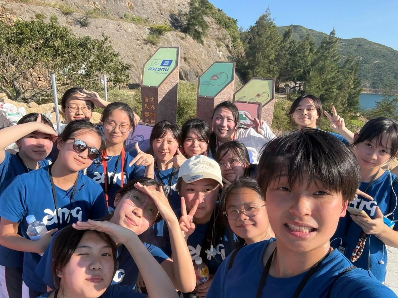
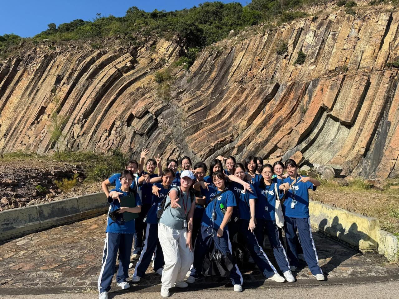
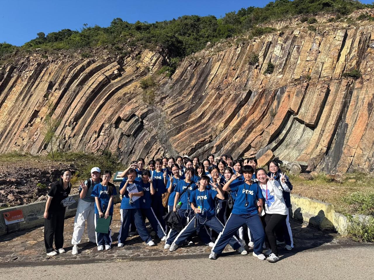
Today, Form 6 Geography students visited the East Dam of High Island Reservoir and Pak Lap Village, linking textbook knowledge with fieldwork.
At the East Dam, students saw spectacular hexagonal columnar-jointed tuff. It came from a volcanic eruption about 140 million years ago and took its shape as the rock cooled and contracted. They also learned that the fault breccia zone formed when crustal movement shifted and crushed the rocks along a fault. Students then looked out at Po Pin Chau, a sea stack that waves have carved out over a long time by eroding along joints in the rock.
Finally, they visited Pak Lap Village to see how rural communities are promoting sustainable development through eco-tourism and cultural conservation. The trip traced a path from volcanic activity, tectonic processes and coastal erosion to human–environment interaction, giving students a fuller picture of Hong Kong’s geography.